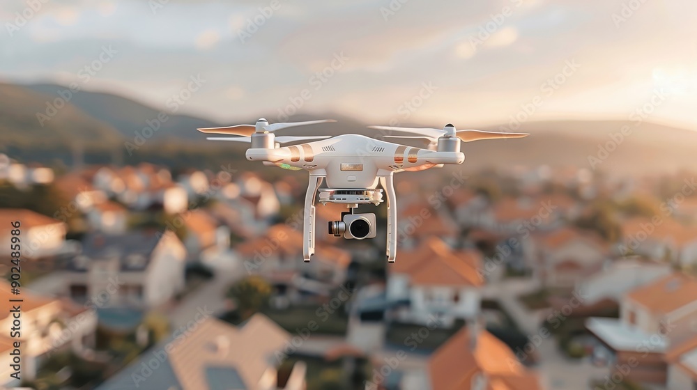
What is a drone imaging survey?
A drone imaging survey involves the use of unmanned aerial vehicles (UAVs), or drones, equipped with high-resolution cameras and sensors to capture detailed images and data of a specific area or structure. These surveys are increasingly popular in sectors such as construction, real estate, agriculture, and environmental monitoring, thanks to their efficiency, accuracy, and ability to access hard-to-reach areas.
Key Features of a Drone Imaging Survey:
Purpose:
To capture aerial images or videos for inspection, analysis, or mapping.
To assess structures or areas without the need for physical access, reducing risk and cost.
Applications:
Construction: Monitoring site progress, measuring volumes, and creating 3D models.
Building Inspections: Inspecting roofs, facades, chimneys, and other high or dangerous areas.
Infrastructure: Assessing bridges, power lines, wind turbines, and solar panels.
Land Surveys: Topographic mapping, planning, and environmental assessments.
Agriculture: Crop health monitoring, soil analysis, and irrigation planning.
Disaster Response: Assessing damage after natural disasters or accidents.
Technology and Equipment:
High-Resolution Cameras: For detailed images and videos.
Thermal Cameras: To detect heat variations, useful for energy audits or finding leaks.
LiDAR Sensors: For creating detailed 3D models of landscapes and structures.
GPS and RTK Systems:Ensuring precise geolocation of captured data.
Benefits:
Probes and Picks: To test the strength and integrity of timber.
Moisture Meter To check for dampness levels in wood.
Endoscopes: For inspecting hard-to-reach areas
Microscope: To confirm the presence of specific fungi or insects.
Survey Output:
High-resolution images and videos.
2D maps or orthomosaics.
3D models of structures or landscapes
Thermal imagery reports.
Data for analysis, such as volumetric measurements or condition assessments.
Who Uses Drone Imaging Surveys?
Architects, Engineers, and Construction Firms: For site design, progress monitoring, and inspections.
Property Developers and Estate Agents: For marketing visuals and structural assessments.
Farmers: To support precision agriculture and crop management.
Government Bodies and Environmental Organisations: For environmental monitoring, land assessment, and disaster management.
Drone imaging surveys have transformed the way inspections and data collection are carried out—providing safer, quicker, and more detailed insights than traditional methods.Drone imaging surveys have revolutionized inspection and data collection processes, offering safer, faster, and more detailed insights compared to traditional methods.